
Area 283 km² Population 12,254 (2010) | Elevation 2 m Postal code 81170 Area code 041 | |
 | ||
Weather 28°C, Wind SE at 8 km/h, 74% Humidity | ||
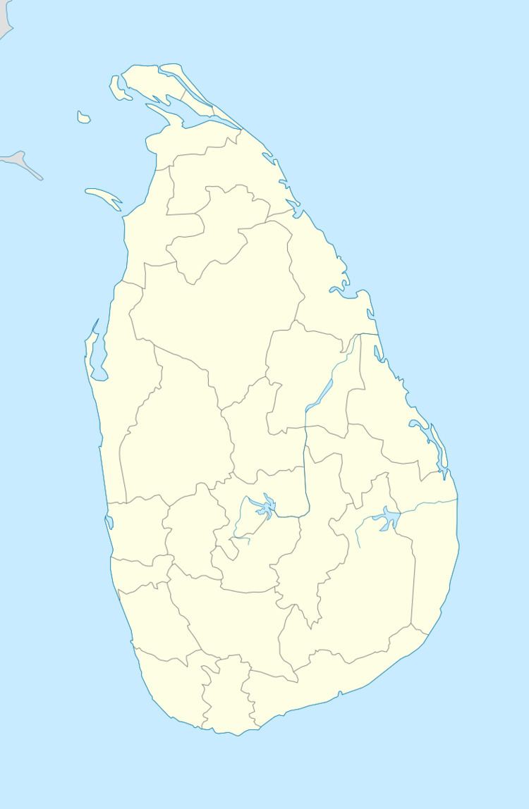
Gandara (Sinhalese: ගන්දර, Tamil: கந்தறை) is a village in the Matara District on the southern coast of Sri Lanka, 168 kilometres (104 mi) from Colombo. It is an important village in Matara. It was slightly affected by the Asian tsunami in December 2004.
Contents
History
Historically, Gandara belongs to the area called Ruhuna, one of the three kingdoms in Sri Lanka (Thun Sinhalaya). The temple in the village was built by ancient kings and now is a popular sacred place among Buddhists in the area. The mosque in the village was built by villagers in the late 1840s. The Buddhists and Muslims will live peacefully in Gandara.
Polling division
Schools
Transport
Gandara is on the Matara - Kataragama main road, which is served by the A32 highway.
References
Gandara, Sri Lanka Wikipedia(Text) CC BY-SA