
Time zone PST (UTC+5:00) | ||
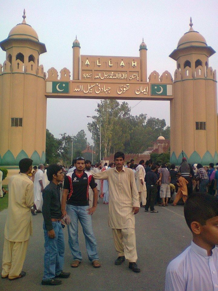 | ||
Pakistan kasur ganda singh wala
Ganda Singh Wala (Punjabi/Urdu: گنڈا سنگھ والا) is a village in Kasur District in the Punjab, Pakistan. The village was named after Ganda Singh Datt. It lies on the border with Eastern Punjab, India. The Pakistani village, which was named after a Sikh man, lies opposite the Indian village of Hussainiwala, which in turn was named after a Muslim.
Contents
Map of Ganda Singh Wala, Pakistan
The border crossing is now closed. In the 1960s and 1970s, it was the principal road crossing between India and Pakistan, but was replaced by the border crossing at Wagah, a little further north. In 2005 there were proposals to reopen the border, but it remained closed. More recently the Chief Minister of Punjab Shahbaz Sharif proposed the reopening of the border when he visited Attari in India.
Since 1970 there has been a daily Retreat Ceremony at the border crossing, similar to the Wagah border ceremony. Attendees are seated in close proximity here, as compared to Wagah where crowds are kept far apart. And unlike the jingoistic display at Wagah which draws nationalistic tourists from all over India and Pakistan, the Hussainiwala ceremony is a more intimate ceremony attended mostly by local Punjabis on either side of the border. As a result, the atmosphere is not as tense, and Indian and Pakistani attendees often smile and wave to one another.
With the construction of a new road from Lahore to Kasur road the village, now 45 minutes drive from Lahore, has gained economic importance. A nearby village named Burj Naamdaar is noted for the cultivation of bamboo.
The Sutlej River flows by Ganda Singh Wala, and the area is prone to flooding.