Girish Mahajan (Editor)

Gancourt Saint Étienne

Updated on
Edit
Like
Comment
Share on FacebookTweet on TwitterShare on LinkedInShare on Reddit
Country
  
Department
  
Canton
  
Local time
  
Friday 8:07 AM

Region
  
Normandy

Arrondissement
  
Area
  
12.48 km²

Gancourt-Saint-Étienne

Intercommunality
  
Canton of Gournay-en-Bray

Weather
  
7°C, Wind SE at 11 km/h, 97% Humidity

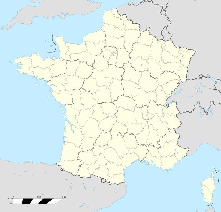
Gancourt-Saint-Étienne is a commune in the Seine-Maritime department in the Haute-Normandie region in northern France.

Contents

Map of 76220 Gancourt-Saint-%C3%89tienne, France

Geography

A small farming village situated in the Pays de Bray, some 23 miles (37 km) east of Rouen, at the junction of the D916 and the D8 roads.

Places of interest

  • A sixteenth century seigneurial manorhouse.
  • The seventeenth-century church of St.Etienne.
  • The chapel of Saint-Etienne-des-Prés
  • A twelfth-century stone cross.
  • The twelfth-century church of Saint-Médard at Bouricourt.
  • References

    Gancourt-Saint-Étienne Wikipedia


    Similar Topics