
Country Philippines Time zone PST (UTC+8) Area 129.4 km² Province Isabela | Barangays ZIP code 3301 Local time Friday 2:36 PM | |
 | ||
Region Cagayan Valley (Region II) District 5th District of Isabela Weather 30°C, Wind S at 5 km/h, 55% Humidity Neighborhoods Barangay Rizal, Barangay Pintor, Barangay Union, Pitnor, Upi | ||
Gamu is a 4th class municipality in the province of Isabela, Philippines. According to the 2015 census, it has a population of 29,904 people.
Contents
Map of Gamu, Isabela, Philippines
While not a commercially thriving town, it lies near Ilagan City and Cauayan, communities with banks, hospitals, and places of entertainment.
The municipality is the site of the 5th Infantry Division of Philippine Army as its infantry unit in Northern Luzon. The Infantry is located in Barangay Upi of this town headed by General Joel P. Ibañez.
Geography
Gamu is located in the central part of the Province of Isabela. It is approximately 10 kilometers away from the Provincial Capitol of Isabela and about 395 kilometers from the National Capital City of the Philippines, Manila.
It is bounded on the north by the city of Ilagan, or the north-west by the municipality of Quirino, on the south by the municipality of Reina Mercedes and on the south-west by the municipality of Burgos, and on the Southeast by the municipality of Naguilian.
Gamu has a total land area of 129.40 square kilometers with 16 barangays, 3 of which are classified as urban barangays, District I, II and III, and the rests are considered rural barangays.
Barangays
Gamu is politically subdivided into 16 barangays. District I, II, and III are considered as urban barangays while the rest are rural.
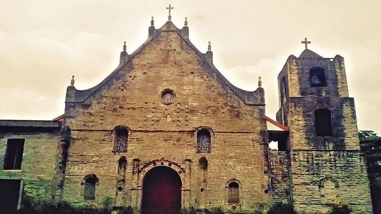
Religion
Festival
The town celebrated the Kuliglig festival on August 23, 2013 following an executive order issued by the Municipal Government of Gamu, Isabela.
Local government
—Commission on Elections