
Area 92.07 km² Area code Area code 709 | Census division 7 Population 1,984 (2011) Local time Friday 12:04 AM | |
 | ||
Weather 1°C, Wind S at 6 km/h, 90% Humidity | ||
Gambo is a town in northeastern Newfoundland, Newfoundland and Labrador, Canada. It is in Division No. 7 on Freshwater Bay. According to the 2001 Statistics Canada Census:
Contents
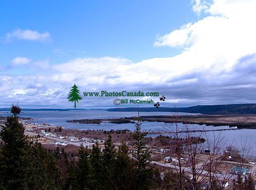
Map of Gambo, NL, Canada
It is the closest town to Mint Brook - the birthplace of Joey Smallwood, former Premier of Newfoundland and last father of confederation. It is located 47 km (29 mi) from Gander Airport and 303 km (188 mi) from St. John's.
History
The first steam driven saw mill in Newfoundland was established here. The first way office was established in 1882 under Waymaster Simeon Osmond. In 1964 the three separate communities of Dark Cove, Middle Brook, and Gambo were incorporated as one town known as Dark Cove-Middle Brook-Gambo. In 1980 the town officially changed its name to Gambo.
Tourism
Gambo is known for its Smallwood Days and its Loggers' Sports Festival. One of the most important sights is the Logger's Memorial Park.