
Country Japan Population 81,332 (Dec 2015) | - Tree Camphor Laurel Area 56.89 km² | |
 | ||
Weather 9°C, Wind W at 21 km/h, 69% Humidity Points of interest Lagunasia, Take Island, Muryō‑ji Temple, Laguna hot water, Kongoji | ||
Gamagōri (蒲郡市, Gamagōri-shi) is a city in Aichi Prefecture, Japan.
Contents
- Map of Gamagori Aichi Prefecture Japan
- Geography
- Neighboring municipalities
- History
- Economy
- Education
- Rail
- Highways
- Sister city relations
- Local attractions
- Notable people from Gamagri
- References
Map of Gamagori, Aichi Prefecture, Japan
As of December 2015, the city has an estimated population of 81,332 and a population density of 1,430 persons per km². The total area was 56.81 square kilometres (21.93 sq mi).
Geography
Gamagōri is situated on the coast of Mikawa Bay on the Pacific Ocean in southeastern Aichi Prefecture. Sheltered by Chita Peninsula and Atsumi Peninsula, the climate is mild, and parts of the city is within the borders of the Mikawa Wan Quasi-National Park.
Neighboring municipalities
History
Records of place names in present-day Gamagōri have been found from the Nara period. The area was divided into several shōen during the Heian period, largely under the control of the Udono clan. During the Edo period, most of the area was tenryō territory ruled directly by the Tokugawa shogunate through hatamoto administrators, with portions controlled by Yoshida Domain and Okazaki Domain.
After the start of the Meiji period, Gamagōri Village in Hoi District, Aichi Prefecture was proclaimed on October 1, 1889. Gamagōri was elevated to town status on October 6, 1891. The area of the town expanded through annexation of the neighboring villages of Toyooka, Kaminogo and Shizusato on July 4, 1906.
The city of Gamagōri was proclaimed on April 1, 1954 when the town of Gamagōri merged with the neighboring town of Miya and village of Shiotsu. The village of Otsuka joined Gamagōri on October 1, 1956, followed by Katahara on April 1, 1962 and Nishiura on April 1, 1963.
Economy
Gamagōri is a regional commercial center and fishing port, with a mixed economy of light manufacturing and agriculture. Gamagōri is also noted for its production of hothouse oranges.
Education
Rail
Highways
Sister city relations
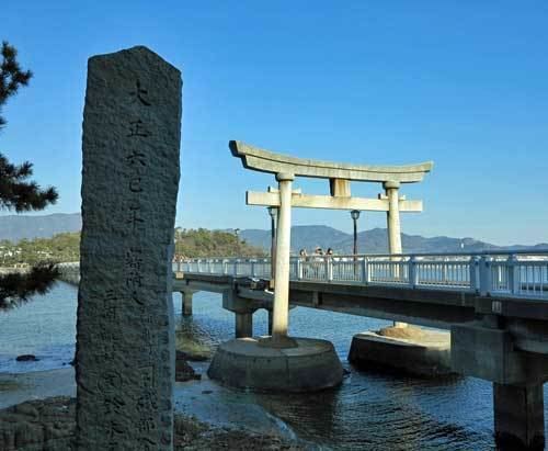
Local attractions
As part of Mikawa Wan Quasi-National Park with numerous scenic offshore islands, Gamagōri is noted for marine sports. There are also several hot spring resorts within the city limits. The Gamagōri Matsuri, held in late July features a fireworks display, and the local festival of former Miya village held in October features an event where mikoshi are carried into the sea. The city is also home to the Lagunasia amusement park and Spa Nishiura Motor Park racetrack.
The small fishing community of Nishiura is noted for its onsen (hot spring resorts), some of which are located near its beach front. The area is famous for the medicinal properties of its water and a number of hotels have sprung up to accommodate the tourists visiting these spas.