
Country United States Established 1792 Area 116.5 km² Population 3,589 (2000) | State New York Settled 1774 Time zone EST (UTC-5) Local time Thursday 9:23 PM | |
 | ||
Weather -1°C, Wind W at 16 km/h, 59% Humidity | ||
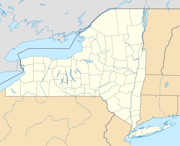
Galway is a town located in Saratoga County, New York, United States. As of the 2000 census, the town had a total population of 3,589. The town contains a village also named Galway. Both the town and village are located in the western part of the county, north of Schenectady.
Contents
- History
- Notable residents
- Geography
- Bordering areas
- Demographics
- Education
- Communities and locations in the town
- References
Galway is a rural community with a mixture of small business, farming, and residential homes. The town is home to both year-round and seasonal residents. It was originally named New Galloway after Galloway in Scotland. When the town was incorporated, however, it was incorrectly recorded as Galway. Although the spelling is the same as Galway, Ireland, it is not pronounced the same.
History
The region was first settled in October 1774 on the corner of what is today known as Donnan and Sacandaga Roads in the southern section of town, outside of Galway village.
The town was formed from the town of Ballston in 1792 as the town of "New Galloway." The town of Providence was taken off the north part of Galway in 1796.
The hamlet of Galway incorporated as a village in 1838.
The Mead House was listed on the National Register of Historic Places in 2004.
Notable residents
Geography
According to the United States Census Bureau, the town has a total area of 45.0 square mile (116.6 km², where 44.0 square miles (114.0 km²) of it is land and 1.0 square miles (2.6 km²) of it (2.20%) is water.
The west town line is the border of Fulton County.
New York State Route 29 is an east-west highway in the northern part of Galway. It intersects New York State Route 147 at Kimball Corners.
Bordering areas
The town of Galway is bordered on the west by towns of Perth and Broadalbin in Fulton County, the east by the town of Milton, the north by the town of Providence, and the south by the town of Charlton.
Demographics
As of the census, of 2000, there were 3,589 people, 1,387 households, and 1,049 families residing in the town. The population density was 81.5 people per square mile (31.5/km²). There were 1,879 housing units at an average density of 42.7 per square mile (16.5/km²). The racial makeup of the town was 98.30% White, 0.08% Black or African American, 0.00% Native American, 0.31% Asian, 0.06% Pacific Islander, 0.53% from other races, and 0.72% from two or more races. 1.06% of the population were Hispanic or Latino of any race.
There were 1,387 households out of which 33.6% had children under the age of 18 living with them, 63.5% are Marriage, married couples living together, 8.4% had a female householder with no husband present, and 24.3% were non-families. Of all households 20.0% were made up of individuals and 7.1% had someone living alone who was 65 years of age or older. The average household size was 2.59 and the average family size was 2.95.
In the town, the population was spread out with 24.9% under the age of 18, 5.6% from 18 to 24, 28.8% from 25 to 44, 28.8% from 45 to 64, and 11.8% who were 65 years of age or older. The median age was 40 years. For every 100 females there were 100.6 males. For every 100 females age 18 and over, there were 99.5 males.
The median income for a household in the town was $51,155, and the median income for a family was $54,119. Males had a median income of $38,827 versus $28,385 for females. The per capita income for the town was $23,425. Of the population, 6.0% and 5.3% of families were below the poverty line. Out of the total population, 9.6% of those under the age of 18 and 1.4% of those 65 and older were living below the poverty line.
Education
Galway has its own school district, composed of pre-school through 12th grade. The elementary school is called Joseph Henry Elementary, the middle and high school are known as Galway Junior Senior High School as of 2011, although formerly known as Galway Middle School and Galway High School. The middle school was built in 1999. The growing population began the expansion of the middle school. The high school was built in 1952. Prior to that, Galway had many one-room school houses scattered throughout the town.