
Country United States Area code(s) 304 & 681 Elevation 181 m Local time Thursday 7:42 PM | Time zone Eastern (EST) (UTC-5) GNIS feature ID 1554524 Zip code 25515 Population 817 (2010) | |
 | ||
Weather 16°C, Wind SW at 8 km/h, 26% Humidity Area 7.177 km² (5.892 km² Land / 128 ha Water) | ||
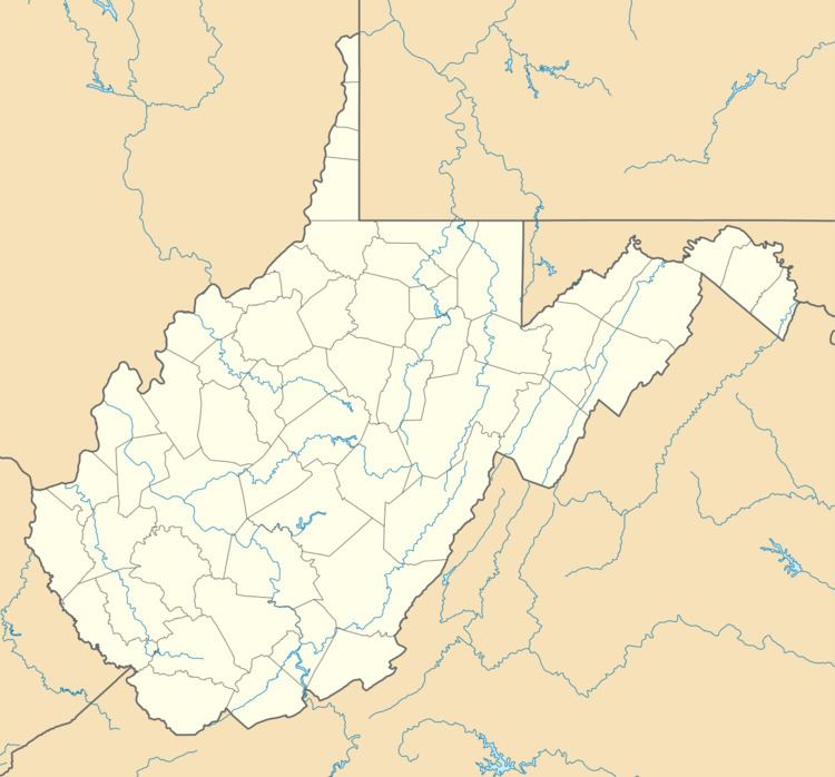
Gallipolis Ferry is a census-designated place (CDP) in Mason County, West Virginia, USA. It is situated on the Ohio River along West Virginia Route 2. As of the 2010 census, its population was 817. It is the site of the Robert C. Byrd Locks & Dam on the Ohio. The community was named for the fact a ferry once provided service between the town site and nearby Gallipolis, Ohio.
Map of Gallipolis Ferry, WV 25515, USA
The community is part of the Point Pleasant, WV–OH Micropolitan Statistical Area.
References
Gallipolis Ferry, West Virginia Wikipedia(Text) CC BY-SA