
Elevation 237 m (778 ft) Time zone CET (UTC+1) Local time Thursday 10:20 PM Dialling code 0543 | Demonym(s) Galeatesi Area 62.9 km² Postal code 47010 | |
 | ||
Frazioni Buggiana, Pianetto, Sant'Ellero, San Zeno, Strada San Zeno Weather 8°C, Wind SW at 6 km/h, 69% Humidity | ||
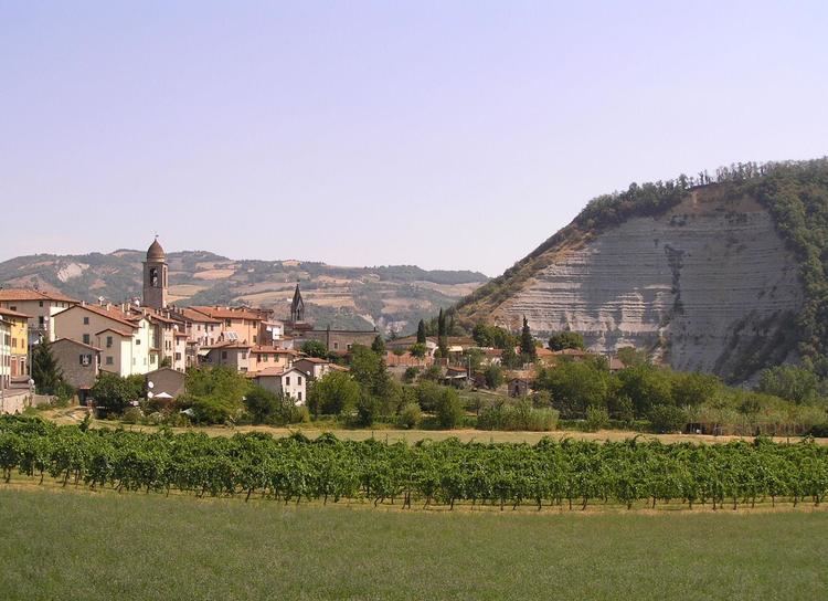
Galeata is a comune (municipality) in the Province of Forlì-Cesena in the Italian region Emilia-Romagna, located about 70 kilometres (43 mi) southeast of Bologna and about 30 kilometres (19 mi) southwest of Forlì.
Contents
Map of 47010 Galeata Province of Forl%C3%AC-Cesena, Italy
Galeata borders the following municipalities: Civitella di Romagna, Predappio, Premilcuore, Rocca San Casciano, Santa Sofia.
History
Galeata's origins are connected to the old Umbrian town of Mevaniola, captured by the Romans in 266 BC. After the fall of the Western Roman Empire, the settlement was moved to the modern Galeata. The latter's fortunes in the Middle Ages stemmed from the creation of the powerful Abbey of Sant'Ellero (Hilary of Galeata), which administrated for centuries the nearby territories, with an army and fortresses of its own.
In the early 15th century, Galeata became part of the Florentine possessions, belonging to the Grand Duchy of Tuscany until 1860. It was part of the Province of Florence until 1923, when it was moved to the province of Forlì.
Main sights
Galeata is the site of some religious foundations, including Santa Maria del Pantano, the Abbey of Sant'Ellero (dedicated to Hilary of Galeata), and the convent of Santa Maria dei Miracoli.