
Country Spain Comarca Enkarterri Demonym(s) galdamestarra Area 44.36 km² Local time Thursday 10:06 PM | Autonomous community Basque Country Elevation 166 m (545 ft) Time zone CET (UTC+1) Population 815 (2014) | |
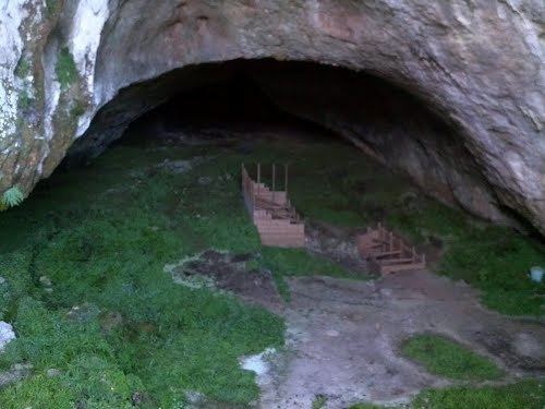 | ||
Weather 11°C, Wind SE at 5 km/h, 93% Humidity Points of interest Castillo Concejuelo, Cueva La Magdalena, Parque Atxuriaga, Pico Ubieta | ||
Galdames is a valley, town and municipality located in the province of Biscay, in the autonomous community of Basque Country, northern Spain.
Contents
Map of Galdames, Biscay, Spain
Main sights are Santa Maria Magdalena and Arenaza caves, both situated in Triano mountain range and the latter containing stalactites and rest of mining operations. Medieval Tower of Loizaga is located in Concejuelo ward, nowadays site of a museum of classic automobiles.
Neighborhoods
Galdames is administratively divided into 8 neighborhoods or wards:
References
Galdames Wikipedia(Text) CC BY-SA