
 | ||
Galabinov Spur (Bulgarian: Гълъбинов рид, ‘Galabinov Rid’ g&-l&-'bi-nov 'rid is the narrow rocky ridge of elevation 1300 m projecting from Detroit Plateau 1.7 km west-northwestwards into upper Cayley Glacier on Danco Coast in Graham Land, Antarctica.
Contents
The ridge is named after Chavdar Galabinov, construction engineer at St. Kliment Ohridski base in 2005/06 and subsequent seasons.
Location
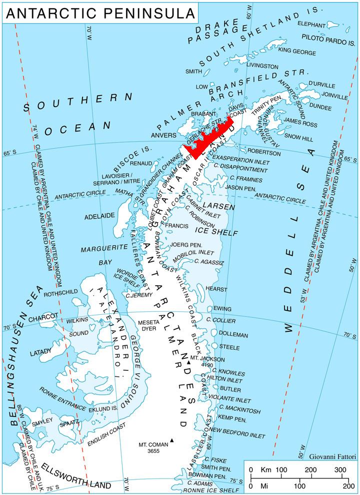
Galabinov Spur is located at 64°27′39″S 60°36′17″W, which is 1.75 km northeast of the parallel Davidov Spur, 7.5 km southeast of Mount Berry, and 12.8 km west-northwest of Batkun Peak on Nordenskjöld Coast. British mapping in 1978.
Maps
References
Galabinov Spur Wikipedia(Text) CC BY-SA