
District Chittoor Time zone IST (UTC+5:30) Population 5,042 (2011) | Mandal Renigunta Area 9.93 km² Local time Friday 12:20 AM | |
 | ||
Weather 27°C, Wind S at 8 km/h, 88% Humidity | ||
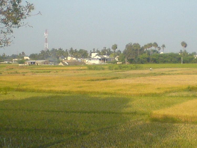
Gajulamandyam is a village in Chittoor district of the Indian state of Andhra Pradesh. It is located in Renigunta mandal of Tirupati revenue division.
Contents
Map of Gajulamandyam, Andhra Pradesh 517520
Geography
Gajulamandyam is located at 13.65°N 79.42°E / 13.65; 79.42. The village is spread over an area of 9.93 km2 (3.83 sq mi).
Demographics
As of 2011 census, Gajulamandyam had a population of 5,042. The total population constitute, 2,558 males and 2,484 females —a sex ratio of 971 females per 1000 males. 486 children are in the age group of 0–6 years, of which 250 are boys and 236 are girls. The average literacy rate stands at 76.98% with 3,507 literates, significantly higher than the state average of 67.41%.
Government and politics
Gajulamandyam gram panchayat is the local self-government of the village. The gram panchayat is divided into wards and each ward is represented by an elected Ward member, also referred as Panchs. The elected members of the gram panchayat is headed by the president of the village, known as Sarpanch. The tenure of all the elected representatives is five for years. While, Secretary of the panchayat is a non elected representative, appointed by the Government of Andhra Pradesh to oversee panchayat activities.