
Country India District Chamoli PIN 246428 Elevation 1,750 m Area code 01363 | State Uttarakhand Time zone IST (UTC+5:30) Telephone code 01363 Local time Thursday 11:31 PM | |
 | ||
Weather 4°C, Wind NE at 5 km/h, 81% Humidity | ||
Gairsain uttarakhand india
Gairsain [ɡɛːrˈsɛːɳ] (Hindi: गैरसैण) is a town and municipal board in the Chamoli district in central Uttarakhand, India.
Contents
- Gairsain uttarakhand india
- Map of Gairsain Khadun Laga Gawali Uttarakhand 246428
- gairsain
- History
- References
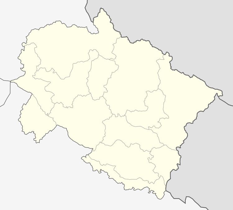
Map of Gairsain, Khadun Laga Gawali, Uttarakhand 246428
It is being considered as a future capital of Uttarakhand. Gairsain was envisaged as the state capital during the statehood agitation. However, after the formation of the state on November 9, 2000, Dehradun was made the temporary capital of the state. The Government of Uttarakhand had constituted the Dixit Commission for the search of a permanent capital; but the commission in its report had noted that "the interim capital, Dehradun, is a more suitable place as the permanent capital owing to the factors like its distance from national capital, centralised population and safety from natural calamities". A three-day-long assembly session of Uttarakhand Legislative Assembly was held at Gairsain from 9 June to 12 June 2014. With this event, hopes are high that its stature might be raised to that of the permanent capital of the state, in the near future.
gairsain
History
According to tradition, the name Gairsain is derived from the Garhwali words; Gair (गैर) meaning 'at some depth' and Sain (सैण) meaning 'plains', referring to the flat land at some depth in otherwise hilly terrain. An adjoining village is named Gair (गैड़) and some attribute the name Gairsain as the deep plain area at the foot of Gair Village. This however is incorrect word formation in Garhwali language (sub language). However in Kumaoni Language it is a correct word formation and means deep plain, to be precise it's a large area in Rift Valley.
It is situated in the center of the Garhwal and Kumaon. It has an average altitude of 1,650 metres (5,410 ft) above sea level.
Gairsain is also the site of the source of Ramganga River, the nearby Dudhatoli Parvat, where the Ramganga River rises.
Gairsain is just about 16 km from the Almora district border along National Highway 87. The nearest railway station to Gairsain is Ramnagar which is 150 km away. The nearest airport is Gauchar Airport, at Gauchar which is approximately 54 km.
Ex-Chief Minister Vijay Bahuguna promised to undertake numerous developmental projects in Gairsain, during his first visit to the town. He promised that an air strip would be laid in Gairsain. In addition, one session of the legislative assembly will be held annually in Gairsain.
A session of Uttarakhand Legislative Assembly was held on 17 and 18 November 2016 for the first time in the newly constructed, grand Uttarakhand Legislative Assembly building at Bhararisain, some 14 km away from Gairsain. Many important legislations were passed during the session. The assembly also resolved to hold the next budget session at Bhararisain.
Harish Rawat government has claimed that it is creating infrastructure including roads, water supply, helipads and airstrips around Gairsain to pave it's way as capital of Uttarakhand in the coming years. Gairsain Vikas Parishad has been looking over major infrastructure projects in and around Gairsain.