
Area 320.2 km² | Time zone BST (UTC+6) Population 437,268 (2011) | |
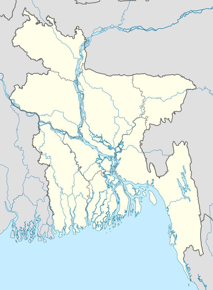 | ||
Website Official Map of Gaibandha Sadar | ||
Gaibandha Sadar (Bengali: গাইবান্ধা সদর) is an Upazila of Gaibandha District in the Division of Rangpur Division, Bangladesh.
Contents
Map of Gaibandha Sadar Upazila, Bangladesh
Geography
Gaibandha Sadar is located at 25.3250°N 89.6278°E / 25.3250; 89.6278. It has 68,483 households and a total area of 320.25 km².
Demographics
According to the 1991 Bangladesh census, Gaibandha Sadar had a population of 359,226, of whom 172,249 were aged 18 or over. Males constituted 50.6% of the population, and females 49.4%. Gaibandha Sadar had an average literacy rate of 28.2% (7+ years), against the national average of 32.4% .
Administration
Gaibandha Sadar has 1 municipality, 13 Unions, 150 Mauzas/Mahallas, and 127 villages.
Education
Ahammad Uddin Shah Shishu Niketon School & College, founded in 1982 is a significant educational institution. & according to Banglapedia, Gaibandha Government Boys' High School, founded in 1885, is a notable secondary school.