Country Bangladesh District Mymensingh District Area 401.2 km² | Division Mymensingh Division Time zone BST (UTC+6) | |
 | ||
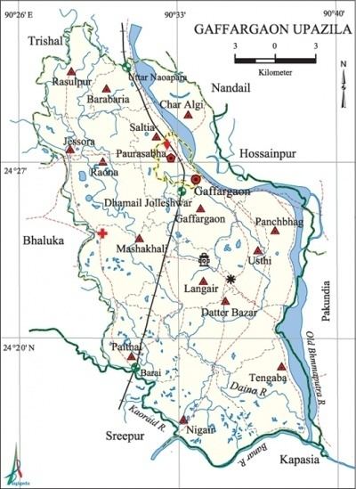
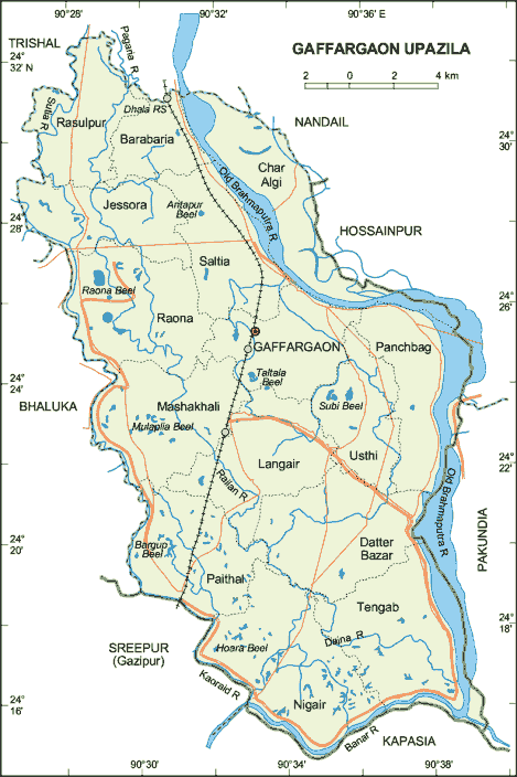
Website Official Map of Gafargaon | ||
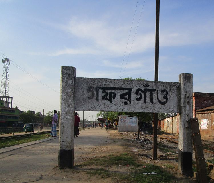
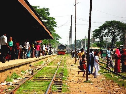
Gafargaon (Bengali: গফরগাঁও) is an Upazila of Mymensingh District in the Division of Mymensingh, Bangladesh.
Contents
Geography
Gafargaon is located at 24.4167°N 90.5500°E / 24.4167; 90.5500. It has 73,130 households and total area 401.16 km².
Demographics
As of the 1991 Bangladesh census, Gafargaon has a population of 379,803. Males constitute 51.04% of the population, and females 48.96%. This Upazila's eighteen up population is 184,633. Gafargaon has an average literacy rate of 30.3% (7+ years), and the national average of 32.4% literate.
Administration
Gafargaon has 15 Unions/Wards, 203 Mauzas/Mahallas, and 218 villages. One of the most prominent union is Moshakhali. Lots of great people born in this small area contributed enormously for its development. There are beautiful villages in the bank of the river Brahmmaputra including the village Basia. If you like to feel the nature please come and visit Gafargaon.
Education
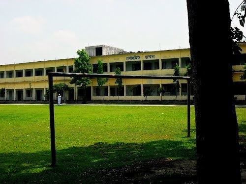
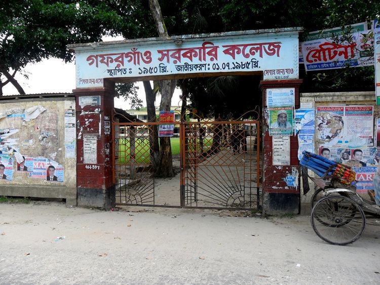
According to Banglapedia, Kandipara Askar Ali High School, founded in 1906, is a notable secondary school.
Notable residents