
Dissolved 1 January 2014 Time zone CET (UTC+1) Area 209.3 km² | Established 1 January 1984 Elevation 1 m (3 ft) Postcode 8556–8583 Local time Thursday 12:51 PM Area code 0514 | |
 | ||
Weather 8°C, Wind W at 27 km/h, 100% Humidity | ||
Samenvatting gaasterl n sleat sc heerenveen seizoen 2011 2012
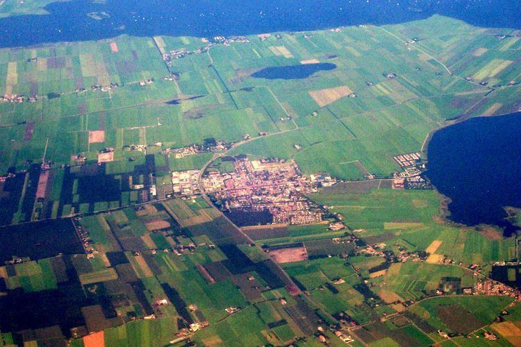
Gaasterlân-Sleat is a former municipality in the northern Netherlands. Its official name is in West Frisian. The name in Dutch is Gaasterland-Sloten ( pronunciation ). In 2014 it merged with the municipalities of Lemsterland and Skarsterlân to form the new municipality De Friese Meren.
Contents
- Samenvatting gaasterl n sleat sc heerenveen seizoen 2011 2012
- Population centres
- Demographics
- References
Population centres
Bakhuizen, Balk, Elahuizen, Harich, Kolderwolde, Mirns, Nijemirdum, Oudega, Oudemirdum, Rijs, Ruigahuizen, Sloten, Sondel and Wijckel.
Demographics
In 2010
References
Gaasterlân-Sleat Wikipedia(Text) CC BY-SA