
Lowest elevation 250 m (820 ft) Local time Monday 2:40 AM | Highest elevation 340 m (1,120 ft) Population 2,800 | |
 | ||
Weather 2°C, Wind NE at 5 km/h, 74% Humidity | ||
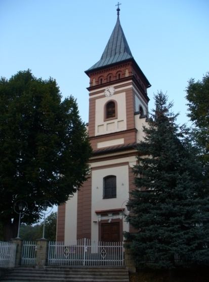
Głogoczów [ɡwɔˈɡɔt͡ʂuf] is a village in the administrative district of Gmina Myślenice, within Myślenice County, Lesser Poland Voivodeship, in southern Poland. It lies approximately 9 kilometres (6 mi) north-west of Myślenice and 19 km (12 mi) south of the regional capital Kraków.
Map of G%C5%82ogocz%C3%B3w, Poland
The village has a population of 2,800.
References
Głogoczów Wikipedia(Text) CC BY-SA