
Postal code 26xxx Elevation 864 m Local time Monday 3:43 AM | Region Central Anatolia Time zone EET (UTC+2) Licence plate 26 Area 740 km² Area code 0222 | |
 | ||
Weather 4°C, Wind SW at 3 km/h, 95% Humidity | ||
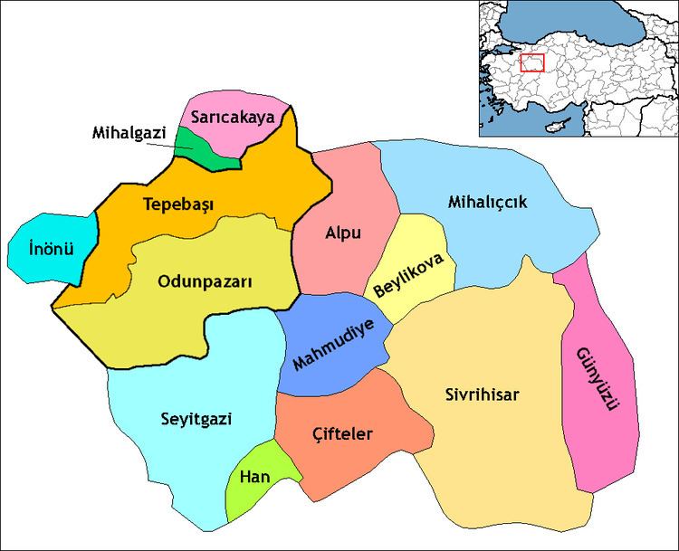
Günyüzü is a town and district of Eskişehir Province in the Central Anatolia region of Turkey. According to 2010 census, population of the district is 7,025 of which 2,104 live in the town of Günyüzü. The district covers an area of 740 km2 (286 sq mi), and the average elevation is 864 m (2,835 ft).
Contents
- Map of GC3BCnyC3BCzC3BC 26630 GC3BCnyC3BCzC3BC2FEskiC59Fehir Province Turkey
- Places of interest
- References
Map of G%C3%BCny%C3%BCz%C3%BC, 26630 G%C3%BCny%C3%BCz%C3%BC%2FEski%C5%9Fehir Province, Turkey
Places of interest
Ruins of the Byzantine shrine St Michael at Germia are located in the village of Gümüşkonak, formerly known as Yörme, 8 km south of Günyüzü.
References
Günyüzü Wikipedia(Text) CC BY-SA