
District Biga Time zone EET (UTC+2) Population 2,118 (2013) | Elevation 8 m (27 ft) Postal code 17200 Area code 0286 | |
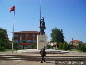 | ||
Gümüşçay (former Güvercinli) is a belde (town) in Biga district of Çanakkale Province, Turkey. At 40°17′N 27°17′E it is situated in the Anatolian portion of the province 10 kilometres (6.2 mi) south of Marmara Sea coast. The distance to Biga is 6 kilometres (3.7 mi). The population of Gümüşçay was 2118 as of 2013. The settlement was an Ottoman district center named Güvercinli. The mosque of Gümüşçay, the Nasuh Çelebi mosque was built during the reign of Mahmut I (1730-1754). The settlement was declared a seat of township in 1949. The main economic sector of the town is agriculture.
Map of G%C3%BCm%C3%BC%C5%9F%C3%A7ay, 17200 G%C3%BCm%C3%BC%C5%9F%C3%A7ay Belediyesi%2FBiga%2F%C3%87anakkale, Turkey
References
Gümüşçay Wikipedia(Text) CC BY-SA