
Time zone EET (UTC+2) Population 637 (2012) | Elevation 685 m (2,250 ft) Postal code 33600 Area code 0324 | |
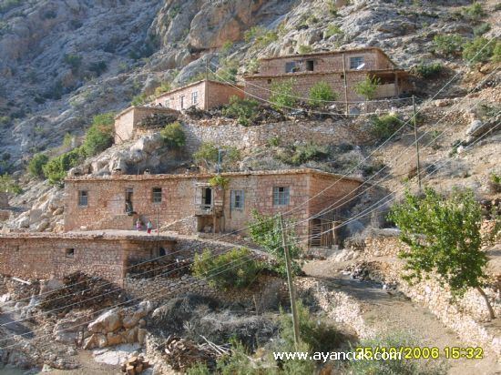 | ||
Gökçetaş is a village in Mut district of Mersin Province, Turkey. It is situated to the east of Göksu River valley at 36°53′N 33°10′E . Its distance to Mut is 65 kilometres (40 mi) and to Mersin is 225 kilometres (140 mi). Population of Gökçetaş was 637 as of 2012. The village is an old village. During the reign of Ottoman sultan Beyazıt II (15th century), it was known as Sekitler. The origin of the population was Abdal, a religious group, which migrated from Central Anatolia following the campaigns of Gedik Ahmet Pasha. Later it was renamed as Sanşa and after 1960 as Gökçetaş. The main economic activities are agriculture and animal breeding.
Map of G%C3%B6k%C3%A7eta%C5%9F, Da%C5%9Fdibi Mahallesi, 33600 Mut%2FMersin Province, Turkey
References
Gökçetaş, Mut Wikipedia(Text) CC BY-SA