
Country Germany Admin. region Stuttgart Elevation 481 m (1,578 ft) Area 20.07 km² Postal code 71126 Dialling code 07032 | Time zone CET/CEST (UTC+1/+2) Population 9,396 (31 Dec 2008) Local time Sunday 7:43 PM Administrative region Stuttgart | |
 | ||
Weather 8°C, Wind E at 11 km/h, 54% Humidity | ||
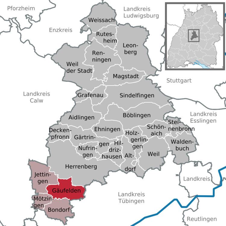
Gäufelden is a municipality in the administrative district of Böblingen, in the German state of Baden-Württemberg.
Contents
Map of G%C3%A4ufelden, Germany
Geography
Gäufelden is located in the upper Gäu, 7 km from Herrenberg and 7 km from Nagold .
History
The municipality was founded July 1, 1971 by the voluntary merger of the previously independent villages of Nebringen, Öschelbronn and Tailfingen. Since then, the population has more than doubled. These three villages constitute "Ortsteile" (districts) of Gäufelden. Each district retains a Rathaus (town hall), but the administration is centralized in Öschelbronn.
Former mayors
References
Gäufelden Wikipedia(Text) CC BY-SA