
Area 51.4 km² Local time Sunday 3:31 AM | Phone number 0246-84-5200 Population 0 (Feb 2016) | |
 | ||
Weather 4°C, Wind SW at 14 km/h, 66% Humidity | ||
Futaba (双葉町, Futaba-machi) is a town in Futaba District, Fukushima Prefecture, Japan. As of December 2014, the town had an official registered population of 6,113 and a population density of 119 persons per km2. The total area was 51.40 square kilometres (19.85 sq mi). However, as of March 2011 the entire population was evacuated as a result of the Fukushima Daiichi nuclear disaster. Since 2013, only 4% of the town has been open to visitors.
Contents
- Map of Futaba Futaba District Fukushima Prefecture Japan
- Geography
- Surrounding municipalities
- History
- 2011 Thoku earthquake and tsunami
- Economy
- Education
- Railway
- Highway
- Noted residents
- References
Map of Futaba, Futaba District, Fukushima Prefecture, Japan
Geography
Futaba is on the Pacific Ocean coastline of central Fukushima. The Fukushima Daiichi Nuclear Power Plant, owned by the Tokyo Electric Power Company, is on the southern border of Futaba in the neighboring town of Ōkuma.
Surrounding municipalities
History
The area of present-day Futaba was part of Mutsu Province. The remains of Kofun period burial mounds have been found in the area. During the Nara period, it was the center of ancient Futaba District in Iwaki Province During the Edo period, it was originally part of Sōma Domain, ruled by the Sōma clan until the Meiji restoration. The area was the site of the Battle of Iwaki during the Boshin War.
On April 1, 1889, the villages of Shinzan and Nagatsuka were created in Naraha District, Fukushima, which subsequently became Futaba District in April 1896. Shinzan was raised to town status on February 1, 1913. Shinzan merged with Nagatsuka on April 1, 1951 becoming the town of Shineha, which changed its name to Futaba on April 1, 1956.
2011 Tōhoku earthquake and tsunami
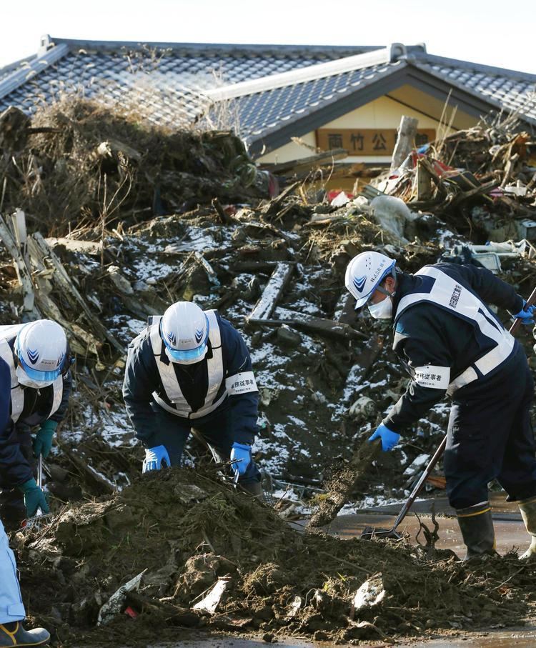
Futaba was severely affected by the Fukushima Daiichi nuclear disaster, and the 2011 Tōhoku earthquake and tsunami on March 11, 2011. Besides sustaining considerable damage from the earthquake and the tsunami (which devastated the coastal area), the town was evacuated en masse on the morning of March 12 as it is well within the 20 km exclusion radius around the damaged Fukushima Daiichi nuclear power plant.
On March 28, 2013, the central government rezoned the town into two areas according to level of radiation, with residents permitted to return to one of the zones for daytime visits. They were prohibited from entering the other zone due to dangerously high levels of radiation for at least another four years. However, only 4 percent of the town area zone is opened to daytime return of residents, and the town remains uninhabitable.
Economy
The economy of Futaba was heavily dependent on commercial fishing and agriculture. Raising of carnations was a major industry.
Education
Futaba had one high school, one middle school and two elementary schools.