
Area rank 247 in Norway Area 377.8 km² Local time Saturday 5:51 PM | Demonym(s) Fusing Population 3,829 (2014) | |
 | ||
Weather 2°C, Wind W at 5 km/h, 72% Humidity Points of interest Tveitakvitingen, Leira, Revnestrand | ||
Fusa is a municipality in Hordaland county, Norway. It is located east of the city of Bergen in the Midhordland region. The administrative centre of the municipality is the village of Eikelandsosen. Other villages in the municipality include Fusa, Holdhus, Holmefjord, Vinnes, Strandvik, and Sundvord. The Frank Mohn company's Fusa marine division is headquartered here, with almost 500 employees.
Contents
- Map of Fusa Norway
- General information
- Name
- Coat of arms
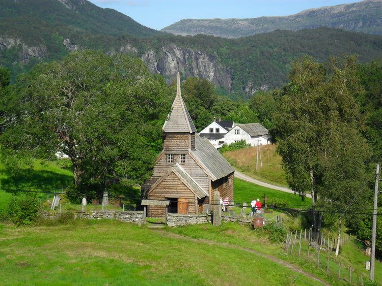
- Churches
- Geography
- Government
- Municipal council
- Mayor
- References
Map of Fusa, Norway
General information
The district of Fusa was separated from the municipality of Os in 1856 to become a separate municipality. Initially, Fusa had 3,173 residents. On 1 January 1903, the municipality of Fusa was divided into three separate municipalities: Hålandsdal in the east (population: 647), Strandvik in the south (population: 1,876), and a much smaller Fusa in the west (population: 1,072). On 1 January 1964, there were many municipal mergers due to the work of the Schei Committee. On that date, there were two changes to Fusa municipality. The Bogstrand area of Fusa, located on the west side of the Fusafjorden (population: 28) was transferred to the municipality of Os. Also on that date, the municipalities of Hålandsdal (population: 528) and Strandvik (population: 2,053) were merged with Fusa (population: 1,466) to form a much larger municipality of Fusa.
Name
The municipality (originally the parish) is named after the old Fusa farm (Old Norse: Fúsar), since the first Fusa Church was built there. The name may be derived from the Old Norse word fúss which means "eager" (possibly referring to a strong stream). The name may instead have been derived from the old verb fusa, which had some meaning referring to running water. Until 1918, the name was written Fuse.
Coat-of-arms
The coat-of-arms is from modern times. They were granted on 27 September 1991. The arms show three blue spirals on a gray background. They symbolise the strong currents in the Fusafjorden and Bjørnafjorden. The spirals also symbolise the many giant's kettles (jettegryte) in the municipality, which were created by the water in the rocks.
Churches
The Church of Norway has one parish (sokn) within the municipality of Fusa. It is part of the Hardanger og Voss deanery in the Diocese of Bjørgvin.
Geography
Fusa is located at the inner end of the Bjørnafjorden and its small arm, the Fusafjorden. The municipality of Os lies across the fjord to the west, Samnanger municipality lies to the north, Kvam municipality lies to the east, and Kvinnherad municipality lies to the south. Lakes in Fusa include Gjønavatnet, Skogseidvatnet, and Henangervatnet.
Government
All municipalities in Norway, including Fusa, are responsible for primary education (through 10th grade), outpatient health services, senior citizen services, unemployment and other social services, zoning, economic development, and municipal roads. The municipality is governed by a municipal council of elected representatives, which in turn elect a mayor.
Municipal council
The municipal council (Kommunestyre) of Fusa is made up of 21 representatives that are elected to every four years. For 2015–2019, the party breakdown is as follows:
Mayor
In 2007, Fusa participated in a trial where the mayor was directly elected. The sitting mayor, Hans S. Vindenes, won the election with 51.8% of the votes.