
Population 1,500 Sovereign state United Kingdom | OS grid reference SK007835 Post town HIGH PEAK Local time Saturday 4:03 PM UK parliament constituency High Peak | |
 | ||
Weather 11°C, Wind W at 26 km/h, 96% Humidity | ||
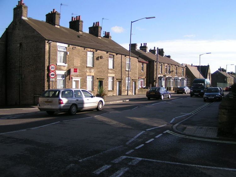
Furness Vale is a village in the High Peak district of Derbyshire, England situated between New Mills and Whaley Bridge. It is bisected by the A6 road and the Peak Forest Canal. Locally known as Furness, it comes under the administration of Whaley Bridge town council. It has a population of approximately 1500.
Map of Furness Vale, High Peak, UK
The village has a small community primary school, Furness Vale Primary School for boys and girls aged 4–11. For secondary education, children travel further afield—typically to Chapel-en-le-Frith, New Mills, Hope Valley or Buxton. Other local services include two pubs (The Soldier Dick and The Crossings), a social club, a railway station and a fish and chip shop. The post office closed around 2015 and has been converted into a domestic dwelling.
Since 2008, the village has hosted a free music event on its football field in order to raise funds for the development of the field itself. It is held on a Saturday during the summer months and is organised by a committee of local residents.