
Elevation 10 m (30 ft) Area 922 km² Area code 57 | Region Caribbean Founded 1902 Demonym(s) Fundanese Local time Saturday 7:59 AM | |
 | ||
Weather 26°C, Wind NW at 6 km/h, 72% Humidity | ||
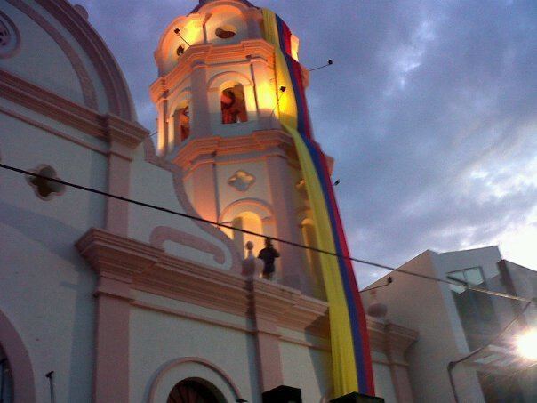
Fundación is a town and municipality of the Colombian Department of Magdalena. Its people are known as Fundanenses. The primary economic activity is livestock-raising, for production of both meat and milk. Other crops are: corn, yuca, oranges, bananas, beans, sesame, sorghum, rice, tomatoes, and tobacco. There is also artisanal fishing.
Contents
Map of Fundaci%C3%B3n, Magdalena, Colombia
Physically, the area of Fundación consists of river valley, flood plain and some low-lying hills. The municipio is bounded on the north by Aracataca, on the east by Bosconia, on the south by Chibolo, and, on the west by Pivijay, Sabanas de San Angel, and Algarrobo. The town is crossed by the Fundación River.
The town came to international prominence on 18 May 2014 when a school bus caught fire at the local Pentecostal Church. Thirty two children who had just attended a church service died in the fire.