OS grid reference TQ247114 Region South East Sovereign state United Kingdom Local time Saturday 9:23 AM District Mid Sussex UK parliament constituency Arundel and South Downs | Civil parish Fulking Country England Area 6.28 km² Shire county West Sussex Dialling code 01273 | |
 | ||
Population 250 2001 Census
303 (2011 Census) Weather 12°C, Wind W at 19 km/h, 92% Humidity | ||
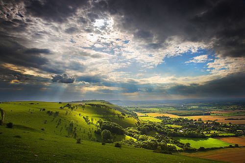
Fulking is a village and civil parish in the Mid Sussex District of West Sussex, England. It is located on the north slopes of the South Downs, five miles (8 km) to the north-west of Brighton. The civil parish covers an area of 628.31 hectares (1,552.6 acres).
Contents
Map of Fulking, UK
There is a country pub just outside the village, the "Shepherd and Dog" and beside it a spring, where the constant flow of water from the chalk strata gives rise to a small stream. Travelling uphill from the stream there is a public tap and horsetrough at the beginning of the street, with a tiled inscription from a psalm in honour of John Ruskin.
In culture
In The Meaning of Liff by Douglas Adams and John Lloyd "Fulking" is given the definition "pretending not to be in when the carol singers come round."
