
Country United States GNIS feature ID 326295 Local time Friday 10:44 PM | Time zone Eastern (EST) (UTC-5) Elevation 49 m | |
 | ||
Weather 10°C, Wind NW at 0 km/h, 77% Humidity | ||
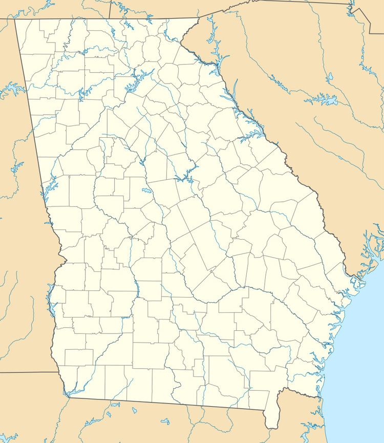
Fruitland is an unincorporated community in northeastern Echols County, Georgia, United States. It lies on State Route 187 to the northeast of the unincorporated community of Statenville, the county seat of Echols County. Its elevation is 161 feet (49 m).
Map of Fruitland, Georgia 31630, USA
References
Fruitland, Georgia Wikipedia(Text) CC BY-SA