Neha Patil (Editor)

Frucourt

Updated on
Edit
Like
Comment
Share on FacebookTweet on TwitterShare on LinkedInShare on Reddit
Country
  
Department
  
Canton
  
Hallencourt

Area
  
5.27 km²

Population
  
121 (1999)

Region
  
Arrondissement
  
Intercommunality
  
Région d'Hallencourt

Local time
  
Saturday 3:16 AM

Frucourt

Weather
  
8°C, Wind W at 37 km/h, 89% Humidity

Frucourt ([fʁyˈkuʁ]) is a commune in the Somme department in Hauts-de-France in northern France.

Contents

Map of 80490 Frucourt, France

Geography

Frucourt is situated on the D93 road, some 10 miles (16 km) south of Abbeville.

Places of interest

  • The windmill, built in brick in 1641. The walls are 6 ft (1,80m) thick at the base. It bears the (defaced) armorial of the seigneurs of the château of Frucourt, the Monthomer family. In June 2004, it was completely renovated and won a heritage prize " Les Rubans du Patrimoine".
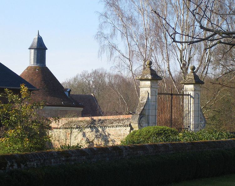
  • The château
  • The church
  • The war memorial
  • References

    Frucourt Wikipedia


    Similar Topics