
Admin. region Gießen Elevation 168 m (551 ft) Area 27.88 km² Local time Saturday 1:03 AM Dialling code 06426 | Time zone CET/CEST (UTC+1/+2) Population 4,023 (30 Jun 2009) Postal code 35112 Administrative region Giessen | |
 | ||
Weather 7°C, Wind SW at 18 km/h, 70% Humidity | ||
Fronhausen is a community in the south of Marburg-Biedenkopf district in the administrative region of Gießen in Hessen, Germany.
Contents
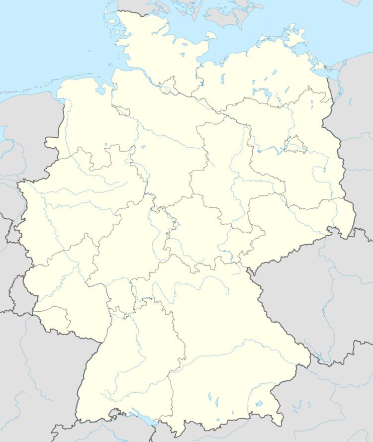
- Map of Fronhausen Germany
- Municipal council
- Coat of arms
- Transport links
- Partnerships
- Sons and daughters of the community
- References
Map of Fronhausen, Germany
The municipal area stretches along the district's southern boundary in the Lahn valley and its environs between Marburg and Gießen, and borders in the north on the community of Weimar, in the east on the community of Ebsdorfergrund, in the south on the towns of Staufenberg and Lollar, and in the west on the community of Lohra.
It was formed out of seven former communities in the early 1970s as part of Hessen's municipal reforms at that time. The former communities were:
Municipal council
Since the last municipal elections held in March 2006, the seats on the municipal council have been distributed thus:
Coat of arms
The civic coat of arms might be described thus: In gules a bend sinister wavy argent; above, a wing argent; below, seven lozenges argent.
The arms were chosen from many proposals put forth after the greater community was formed. The bend sinister (the band) stands for the river Lahn, which flows through the community. The wing comes from the historic Fronhausen reeves' arms, and the lozenges from the Stewards (Schenken) of Schweinsberg, who were formerly the local nobility; the number of lozenges – seven – also represents the number of constituent communities.
Transport links
In the community are a connection with the four-lane Federal Highway (Bundesstraße) B 3, and a stop on the Main-Weser railway, with regional and regional express service.
Partnerships
All these partner communities are near Rambouillet.