
Coat of arms Flag Selsoviets 13 Area 3,259 km² | Rural localities 46 | |
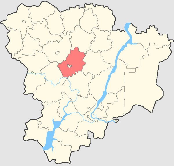 | ||
Frolovsky District (Russian: Фро́ловский райо́н) is an administrative district (raion), one of the thirty-three in Volgograd Oblast, Russia. As a municipal division, it is incorporated as Frolovsky Municipal District. It is located in the center of the oblast. The area of the district is 3,210 square kilometers (1,240 sq mi). Its administrative center is the town of Frolovo (which is not administratively a part of the district). Population: 14,631 (2010 Census); 16,720 (2002 Census); 15,807 (1989 Census).
Contents
Map of Frolovsky District, Volgograd Oblast, Russia
Administrative and municipal status
Within the framework of administrative divisions, Frolovsky District is one of the thirty-three in the oblast. The town of Frolovo serves as its administrative center, despite being incorporated separately as a town of oblast significance—an administrative unit with the status equal to that of the districts.
As a municipal division, the district is incorporated as Frolovsky Municipal District, with the administrative center in the settlement of Prigorodny. The town of oblast significance of Frolovo is incorporated separately from the district as Frolovo Urban Okrug.