
Elevation 171 m (561 ft) Area 2.74 km² Local time Friday 4:34 PM Dialling code 06733 | Municipal assoc. Wonnegau Time zone CET/CEST (UTC+1/+2) Population 321 (31 Dec 2008) Postal code 67596 | |
 | ||
Weather 13°C, Wind W at 19 km/h, 54% Humidity | ||
Frettenheim is an Ortsgemeinde – a municipality belonging to a Verbandsgemeinde, a kind of collective municipality – in the Alzey-Worms district in Rhineland-Palatinate, Germany.
Contents
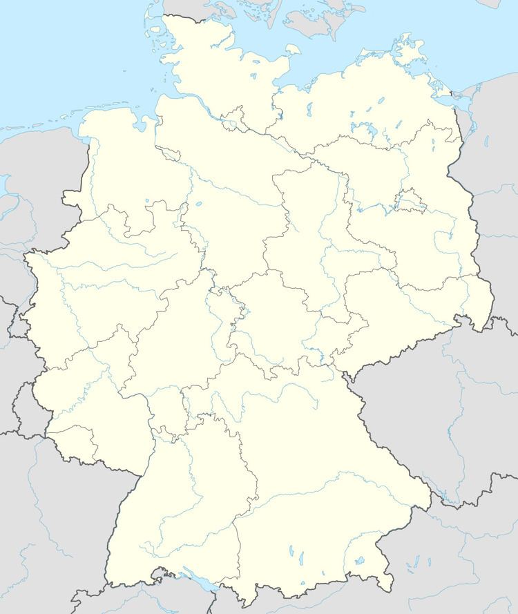
- Map of Frettenheim Germany
- Location
- Neighbouring municipalities
- History
- Population development
- Municipal council
- Mayors
- Coat of arms
- Buildings
- Economy and infrastructure
- Transport
- References
Map of Frettenheim, Germany
Location
The municipality lies in Rhenish Hesse. It belongs to the Verbandsgemeinde of Wonnegau, whose seat is in Osthofen.
Neighbouring municipalities
Frettenheim’s neighbours are Dittelsheim-Heßloch, Dorn-Dürkheim, Gau-Odernheim and Hillesheim.
History
In 767, Frettenheim had its first documentary mention in the Lorsch codex. It then still bore the name Frittenheim, as the founder who built his farm there was named Frido. Only in 1402 did Frettenheim get its current name.
In 1575, Frettenheim became part of Electoral Palatinate. Beginning in 1755, the Barons of Heddersdorf were tithe lords. In 1792, Frettenheim lay under French administration and belonged to the Department of Mont-Tonnerre (or Donnersberg in German).
In 1816 came the transfer to the Grand Duchy of Hesse. Frettenheim became autonomous in 1868.
Population development
In 1772, the population amounted to 90 persons. Since then, the figure has risen to almost fourfold. The municipality is among the smallest Ortsgemeinden in the district.
Municipal council
The council is made up of 8 council members, who were elected by proportional representation at the municipal election held on 7 June 2009, and the honorary mayor as chairman.
The municipal election held on 7 June 2009 yielded the following results:
Mayors
Frettenheim’s Ortsbürgermeister (mayor) is Bernd Weber (FWG), who took office on 25 September 2006.
Coat of arms
The municipality’s arms might be described thus: Per fess, sable a lion passant Or armed, langued and crowned gules, and lozengy argent and azure.
Buildings
The little municipality has at its disposal two Baroque churches and a Dorfgemeinschaftshaus (village hall), which until 1967 was used as a school, having been given its current function in 1981.
Economy and infrastructure
In 2006, the municipality counted seven full-time farmers.
Transport
Beginning in 1897, the Osthofen–Gau-Odernheim railway line led through Frettenheim, over which there were links to Worms at Osthofen and to the Alzey–Bodenheim railway (known locally as the Amiche) at Gau Odernheim; however, it has been out of service since the mid-1980s.