
Country France Population (1999) 880 Local time Friday 4:15 PM | Canton Houdain Area 7.95 km² | |
 | ||
Intercommunality Communauté d'agglomération de l'Artois Weather 11°C, Wind W at 29 km/h, 53% Humidity | ||
Fresnicourt-le-Dolmen is a commune in the Pas-de-Calais department in the Hauts-de-France region of France.
Contents
Map of Fresnicourt-le-Dolmen, France
Geography
Fresnicourt-le-Dolmen is a farming village situated some 10 miles (16.1 km) south of Béthune and 20 miles (32.2 km) southwest of Lille, on the D57 road.
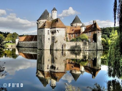
Places of interest
References
Fresnicourt-le-Dolmen Wikipedia(Text) CC BY-SA