
Area 3.52 km² | Canton Oisemont Population (2006) 139 Local time Friday 4:13 PM | |
 | ||
Weather 11°C, Wind W at 26 km/h, 57% Humidity | ||
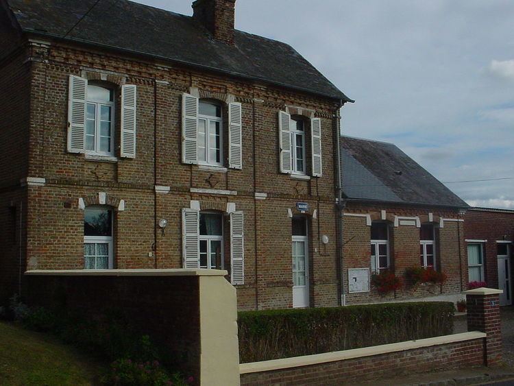
Fresnes-Tilloloy (or Fresne-Tilloloy) is a commune in the Somme département in the Hauts-de-France region of France.
Contents
Map of 80140 Fresnes-Tilloloy, France
Geography
The commune is situated 10 miles (16 km) southwest of Abbeville on the D25 road
History
The name is derived from the French for the Linden (Limetree)(fr: tilleul) and the Ash(fr: frêne). and reference to the village (as Fresnum) is mentioned in 1207. Tilloloy was also noted in 1373 as Thillolay
Thilloloy and Fresnes were joined as one commune sometime between 1790 and 1794 as the commune of Fresnes-Thilloloy.
Traces of Gallo-Roman settlement have been found in the area, and the Roman road (the "chaussée de Brunehaut" is nearby
In 1346, Edward III, spent some time here
The commune was occupied from 17 February to 9 March 1871 by the Germans during the Franco-Prussian War.