
GNIS feature ID 0453319 Area 140 km² Population 4,699 (2010) | ZIP codes 47432, 47454, 47469 Elevation 147 m Local time Friday 4:20 AM | |
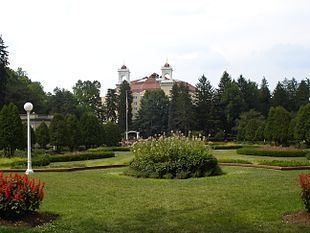 | ||
Weather 4°C, Wind SE at 11 km/h, 45% Humidity Points of interest West Baden Springs H, Indiana Railway Museum, Paoli Peaks, Hoosier National Forest, French Lick Scenic Railway | ||
French Lick Township is one of ten townships in Orange County, Indiana, United States. As of the 2010 census, its population was 4,699 and it contained 2,263 housing units.
Contents
- Map of French Lick Township IN USA
- History
- Geography
- Cities towns villages
- Unincorporated towns
- Cemeteries
- Major highways
- Airports and landing strips
- School districts
- Political districts
- References
Map of French Lick Township, IN, USA
History
French Lick Township was named after French Lick Creek.
Geography
According to the 2010 census, the township has a total area of 54.07 square miles (140.0 km2), of which 53.85 square miles (139.5 km2) (or 99.59%) is land and 0.22 square miles (0.57 km2) (or 0.41%) is water.
Cities, towns, villages
Unincorporated towns
(This list is based on USGS data and may include former settlements.)
Cemeteries
The township contains these three cemeteries: Mount Lebanon, Pythian and Sulphur Creek.
Major highways
Airports and landing strips
School districts
Political districts
References
French Lick Township, Orange County, Indiana Wikipedia(Text) CC BY-SA