
Area 124.6 km² Local time Friday 2:49 AM | Region Montérégie Constituted September 28, 1985 Postal code(s) J0J 1C0 Population 1,094 (2011) Province Québec | |
 | ||
Weather -9°C, Wind E at 2 km/h, 79% Humidity | ||
Frelighsburg, (Quebec, Canada) is a municipality located in the Brome-Missisquoi Regional County Municipality, which is part of the administrative region of the Montérégie. The population as of the Canada 2011 Census was 1,094. It is located in an area historically considered to be part of the Eastern Townships.
Contents
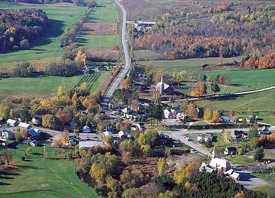
Map of Frelighsburg, QC, Canada
Frelighsburg is situated at the foot of Mount Pinnacle, which is part of the Sutton Mountain Range of the Appalachian Mountains.
History
The land on which Frelighsburg is located was originally inhabited by the Abenaki. Frelighsburg was established as a colony in the late 1790s by American Loyalists, including pioneer Abram Freligh, a physician of German origin who lived in Clinton, New York. The sawmill built by his son in 1839, and several other buildings dating from the nineteenth century are considered historical monuments. Prior to being named Frelighsburgh it was named Conroy's Mills, after another mill owner and Slab City because of the great quantities of sawdust and slabs (slang for bark) that were there.
Geography
Frelighsburg is less than 4 kilometres (2.5 mi) from the Canada–US border with Vermont, nestled in a valley of orchards crossed by the Pike River and at the foot of Mount Pinnacle.
Infrastructure
Frelighsburg is crossed by the Route 237. Route 213 starts in Frelighsburgh.