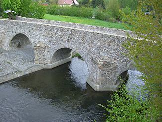
Reference no. DE: 542 Length 124 km | Mouth Mulde | |
 | ||
River mouth Near Sermuth (confluence with the Zwickauer Mulde)132.4 m above sea level (NHN) | ||
The Freiberger Mulde (also called the Östliche Mulde or Eastern Mulde) is the right-hand, 124-kilometre-long headstream of the River Mulde, whose catchment covers an area of 2,981 km² in the Czech Republic and Germany in central Saxony. It has a volumetric flow of 35.3 m³/s which is greater than that of the other headstream, the Zwickauer Mulde (or Westliche Mulde or Western Mulde) who flow is about 26.4 m³/s, which is nevertheless the longer stream.
Map of Freiberger Mulde, Germany
The source of the river is in the Ore Mountains, near Moldava, in the Czech Republic. It runs northwest, crossing the border with Germany after a few km, to Freiberg (hence the name), and further northwest through Nossen, Döbeln and Leisnig. A few km north of Colditz, the Freiberger Mulde is joined by the Zwickauer Mulde to form the Mulde. The Mulde is a tributary of the Elbe.
