
Country United States Telephone exchanges 321, 331, 730 Elevation 35 m Population 2,045 (2010) | Time zone Pacific (PST) (UTC-8) FIPS code 53-25510 Zip code 98249 Area code Area code 360 | |
 | ||
Area 12.17 km² (8.806 km² Land / 3.626 km² Water) | ||
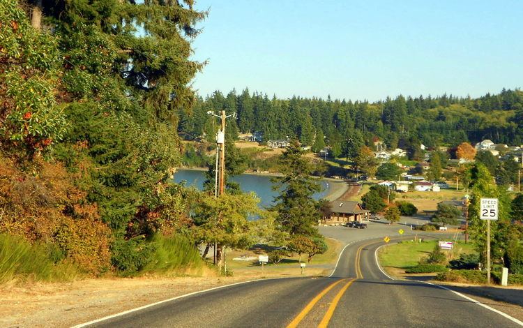
Freeland is a census-designated place (CDP) on Whidbey Island in Island County, Washington, United States. At the time of the 2010 census the population was 2,035. The town received its name based on its origins as a socialist commune in the early 1900s—. Literally, in the eyes of its founders, the land of the town was to be free for all people. Some of the first settlers were veterans of a prior experiment in socialism, the nearby Equality Colony.
Contents
Map of Freeland, WA, USA
Geography
Freeland is located at 48°0′56″N 122°32′1″W (48.015556, -122.533622.)
According to the United States Census Bureau, the CDP has a total area of 4.7 square miles (12 km2), of which, 3.4 square miles (8.8 km2) of it is land and 1.4 square miles (3.6 km2) of it (28.90%) is water.
Demographics
As of the census of 2000, there were 1,313 people, 561 households, and 379 families residing in the CDP. The population density was 390.4 people per square mile (150.9/km2). There were 664 housing units at an average density of 197.4/sq mi (76.3/km2). The racial makeup of the CDP was 94.36% White, 0.46% African American, 0.99% Native American, 0.84% Asian, 0.08% Pacific Islander, 0.38% from other races, and 2.89% from two or more races. Hispanic or Latino of any race were 2.67% of the population.
There were 561 households out of which 27.3% had children under the age of 18 living with them, 53.3% were married couples living together, 11.1% had a female householder with no husband present, and 32.4% were non-families. 26.0% of all households were made up of individuals and 10.7% had someone living alone who was 65 years of age or older. The average household size was 2.34 and the average family size was 2.79.
In the CDP, the population was spread out with 21.9% under the age of 18, 4.8% from 18 to 24, 28.2% from 25 to 44, 30.2% from 45 to 64, and 14.9% who were 65 years of age or older. The median age was 43 years. For every 100 females there were 88.6 males. For every 100 females age 18 and over, there were 86.4 males.
The median income for a household in the CDP was $38,409, and the median income for a family was $47,212. Males had a median income of $39,205 versus $22,708 for females. The per capita income for the CDP was $20,848. About 10.1% of families and 12.2% of the population were below the poverty line, including 14.9% of those under age 18 and 6.1% of those age 65 or over.
Outdoor recreation
Double Bluff Beach Access and Double Bluff State Park is a popular beach on the Southend of Whidbey Island with its offering of shellfish harvest and at times total solitude along the shores of Useless Bay, Admiralty Inlet, and Double Bluff to the North of the Puget Sound.
South Whidbey Island State Park provides both beach access and forested trails through a mixture of second growth and old growth timber.
Freeland Park has beach access, boat ramp, boat moorage, picnic tables, children's playground, and an annual 3 July fireworks celebration.
Holmes Harbor Golf Course is an 18-hole, par 64, executive public golf course with views of Holmes Harbor.