
Country United States Time zone Eastern (EST) (UTC-5) Elevation 96 m Population 421 (2010) | State New York FIPS code 36-27452 Zip code 12540 Area code 845 | |
 | ||
Area 3.445 km² (3.341 km² Land / 10 ha Water) | ||
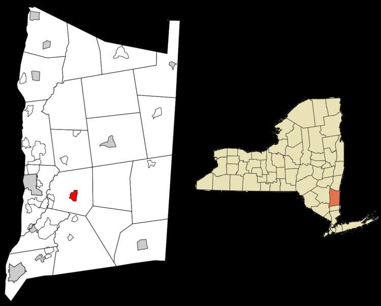
Freedom Plains is a hamlet and census-designated place (CDP) in Dutchess County, New York, United States. As of the 2010 census the population was 421.
Geography
Freedom Plains is in the center of the town of LaGrange, in the south-central part of Dutchess County. New York State Route 55 passes through the hamlet, leading west 7 miles (11 km) to Poughkeepsie, the county seat, and southeast 13 miles (21 km) to Pawling. The Taconic State Parkway forms the eastern edge of Freedom Plains, leading north 57 miles (92 km) to its end at Interstate 90 and south 70 miles (110 km) to New York City. The CDP is bordered to the north by James Baird State Park.
According to the U.S. Census Bureau, the Freedom Plains CDP has a total area of 1.33 square miles (3.45 km2), of which 1.29 square miles (3.34 km2) is land and 0.042 square miles (0.11 km2), or 3.30%, is water.