 | ||
Exploring freedom island
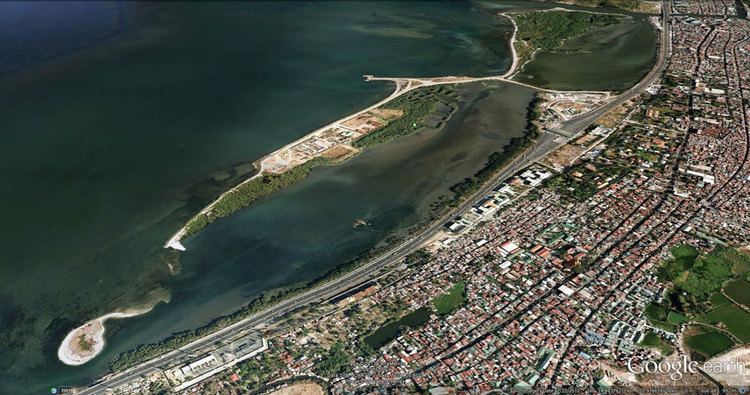
Freedom Island is an artificial island in Manila Bay just off the coast of Parañaque in Metro Manila, Philippines. It was formed between 1973 and 1985 during the construction of the Manila–Cavite Coastal Road. Two other islands lie immediately to the south in Las Piñas, namely Long Island and another smaller island also formed by land reclamation. The islands form the Las Piñas–Parañaque Critical Habitat and Ecotourism Area.
Contents
GeographyEdit
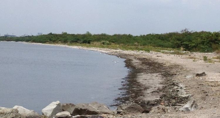
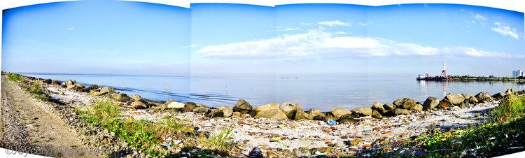
Freedom Island covers an area of about 74 acres (0.30 km2) with an elevation of between 0 and 7 meters above sea level. It is a barrier island located across from the Manila–Cavite Expressway just south of another reclaimed site called Asiaworld City, a residential waterfront community that is part of the bigger Bay City development. The island runs along the coast from barangay Don Galo at its north end near the mouth of Parañaque River into barangay San Dionisio right at the border with Las Piñas. A narrow landfill connects its southern tip to the mainland and Long Island near the expressway toll barrier.
Flora and faunaEdit
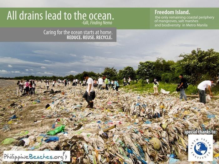
The island consists primarily of loam and dredged material pulled from the bay and nearby lands. It contains a mangrove forest and swamps providing a habitat for many migratory bird species, including the Philippine duck, Chinese egret, common moorhen and black-crowned night heron.
HistoryEdit
In November 1973, the Construction Development Corporation of the Philippines (now Philippine National Construction Corporation) secured a government contract for the Manila–Cavite Coastal Road and Reclamation Project. The project to extend Roxas Boulevard south to Cavite province required reclamation of foreshore lands in Parañaque and Las Piñas. Construction of the 6.6 km-long coastal road started during the term of Philippine president Ferdinand Marcos and was completed and opened to traffic in September 1985. The island was formed during construction with plans to expand the island and continue reclamation of the coastal area from Bay City to Las Piñas following Philippine Reclamation Authority's masterplan for the Southern Reclamation Project.
The island was declared a Critical Habitat by the Philippine government in 2007. It was listed as a Ramsar wetland of international importance in 2013.