
Country United States GNIS feature ID 453316 | Elevation 1,148 ft (350 m) | |
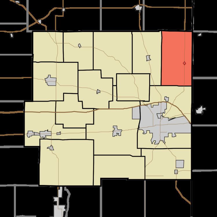 | ||
Franklin Township is one of fifteen townships in Wayne County, Indiana, United States. As of the 2010 census, its population was 1,370 and it contained 534 housing units.
Contents
- Map of Wayne County IN USA
- History
- Geography
- Cities and towns
- Unincorporated towns
- Cemeteries
- Major highways
- References
Map of Wayne County, IN, USA
History
Franklin Township was organized in 1834.
Geography
According to the 2010 census, the township has a total area of 28.4 square miles (74 km2), of which 28.36 square miles (73.5 km2) (or 99.86%) is land and 0.05 square miles (0.13 km2) (or 0.18%) is water. The streams of Bethel Creek, Black Brook, Clay Run, Land Drain, Middle Brook, Small Run, Vernon Brook and White Creek run through this township.
The highest natural point in Indiana, Hoosier Hill, is located in this township.
Cities and towns
Unincorporated towns
Cemeteries
The township contains the following cemeteries: Bethel, Mount Vernon, Whitewater and Woodbury.
Major highways
References
Franklin Township, Wayne County, Indiana Wikipedia(Text) CC BY-SA