
Population 122 Civil parish Frankley Country England Local time Thursday 10:28 AM District Bromsgrove District UK parliament constituency Bromsgrove | OS grid reference SO995785 Region West Midlands Sovereign state United Kingdom Dialling code 0121 | |
 | ||
Weather 7°C, Wind SW at 16 km/h, 92% Humidity | ||
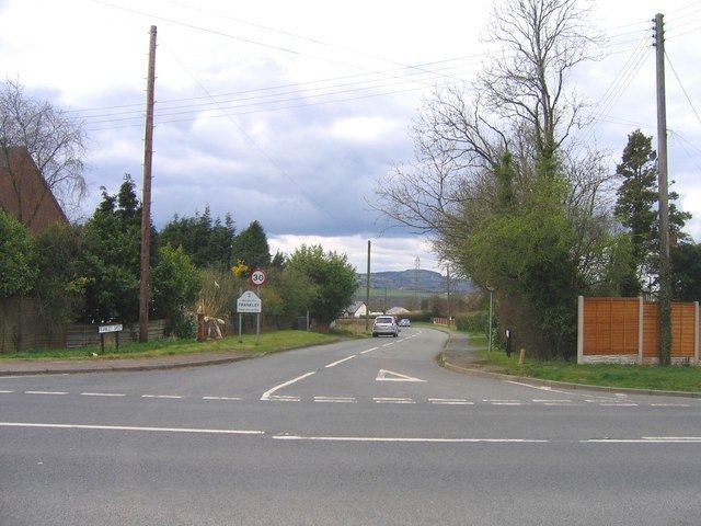
Bad entry to motorway m5 north frankley services
Frankley is a village and civil parish in the Bromsgrove district of Worcestershire, near the border with Birmingham. The modern Frankley estate is part of the New Frankley civil parish in Birmingham, and has been part of the city since 1995. The parish has a population of 122.
Contents
- Bad entry to motorway m5 north frankley services
- Map of Frankley Birmingham UK
- St Leonards Church
- Frankley services
- References
Map of Frankley, Birmingham, UK
St Leonards Church
The 15th-century church building lies to the north of the village. The building is constructed from sandstone in a red and grey colour, until 1965 the tower contained two bells. A new church hall was constructed in 2005.
Frankley services
The village gives its name to Frankley services, a motorway service area on the M5 motorway to the north west of the village. The services opened with the motorway in 1966.
References
Frankley Wikipedia(Text) CC BY-SA