
Country United States Time zone CST (UTC-6) Elevation 118 m Local time Thursday 4:54 AM University Morthland College | Established November 4, 1884 ZIP codes 62812, 62890, 62896 Area 95.6 km² Population 7,029 (2010) | |
 | ||
Weather -6°C, Wind NW at 2 km/h, 83% Humidity | ||
Frankfort Township is one of twelve townships in Franklin County, Illinois, USA. As of the 2010 census, its population was 7,029 and it contained 3,362 housing units.
Contents
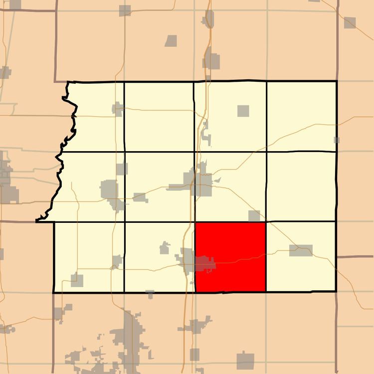
- Map of Frankfort Township IL USA
- Geography
- Cities towns villages
- Unincorporated towns
- Extinct towns
- Cemeteries
- Major highways
- Landmarks
- School districts
- Political districts
- References
Map of Frankfort Township, IL, USA
Geography
According to the 2010 census, the township has a total area of 36.9 square miles (96 km2), of which 36.46 square miles (94.4 km2) (or 98.81%) is land and 0.45 square miles (1.2 km2) (or 1.22%) is water.
Cities, towns, villages
Unincorporated towns
(This list is based on USGS data and may include former settlements.)
Extinct towns
Cemeteries
The township contains these thirteen cemeteries: Bonner, Clayton, County, Crawford, Joplin, Lithuanian, Melvin, Neal, Neal, Oddfellow, Saint Johns, Tower Height and Trinity.
Major highways
Landmarks
School districts
Political districts
References
Frankfort Township, Franklin County, Illinois Wikipedia(Text) CC BY-SA