
 | ||
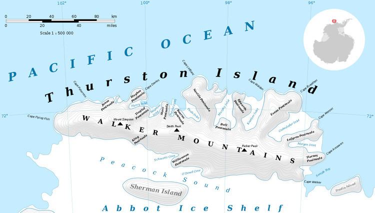
Frankenfield Glacier (71°52′S 98°13′W) is a small glacier in the northeast part of Noville Peninsula, Thurston Island. It flows east-northeast to the Bellingshausen Sea between Mount Feury and Mulroy Island. The glacier was first roughly delineated from air photos taken by U.S. Navy Operation Highjump in December 1946, and was named by the Advisory Committee on Antarctic Names for Lieutenant Chester Frankenfield, a meteorologist on the U.S. Navy Bellingshausen Sea Expedition, who established an automatic weather station on Thurston Island in February 1960.
Contents
Map of Frankenfield Glacier, Antarctica
Maps
References
Frankenfield Glacier Wikipedia(Text) CC BY-SA