
Town status 30 November 1936 Local time Wednesday 10:42 PM | First settled 1895 City status 30 November 1986 Area code 872 | |
 | ||
Weather 21°C, Wind E at 0 km/h, 37% Humidity Points of interest Capsula Del Tiempo, Estatua A Fco I Madero, Silos Antiguo Almacén | ||
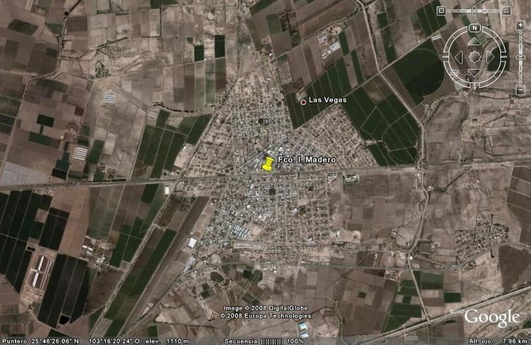
Francisco I. Madero is a city in the northern Mexican state of Coahuila. It is located at the southwestern part of the state near the Durango state border, in the economic region known as Laguna at 25°46′31″N 103°16′23″W, at a mean height of 1,100m above sea level. It serves as the municipal seat for the Francisco I. Madero Municipality, Coahuila.
Map of Francisco I. Madero, Coahuila, Mexico
It is named for Revolutionary hero Francisco I. Madero, a native of nearby Parras de la Fuente.
The city is located 200 km from the state capital, Saltillo. It had a 2005 census population of 30,084, while its surrounding municipality had a total population of 51,528.
References
Francisco I. Madero, Coahuila Wikipedia(Text) CC BY-SA