
Population 1,432 (2011 census) Civil parish Frampton on Severn Region South West Local time Thursday 12:06 AM Post town Gloucestershire UK parliament constituency Stroud | OS grid reference SO7508 District Stroud Country England Shire county Gloucestershire Dialling code 01452 | |
 | ||
Weather 8°C, Wind S at 8 km/h, 84% Humidity | ||
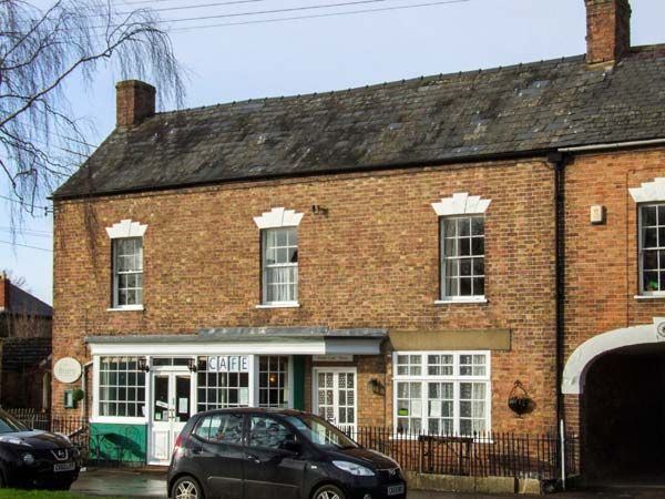
Frampton-on-Severn is a village in Gloucestershire, England. There is a parish council, consisting of nine members. The total population is 1,432.
Contents
Map of Frampton on Severn, UK
Geography
The village is approximately 10 miles (16 km) south of Gloucester, at grid reference SO750080. It lies on the east bank of the River Severn, and on the west bank of the River Frome, from which it takes its name. The village is linked by footpath to the Sharpness Canal.
There is a large village green, 22 acres (89,000 m²) in size and reputedly the longest in England. The green was known as Rosamund's Green by the mid 17th century, apparently from the village's association with Fair Rosamund. There is a designated Conservation Area around the green, including Tudor and Georgian houses, and the village also has a Site of Special Scientific Interest. Much of the village forms part of the Frampton Court Estate, owned by the Clifford family.
The Gloucester and Sharpness Canal runs to the west side of the village and the green has three ponds. There are two pubs on The Green: The Bell Inn and The Three Horse Shoes.
Governance
The village falls in the 'Severn' electoral ward. This ward starts in the north east at Moreton Valence then follows the M5 motorway south west to Slimbridge. The total ward population at the 2011 census was 4,760.
History
The Domesday Book mentioned the manor of Frampton in 1089. The parish church of St Mary the Virgin was consecrated in 1315 but partly dates from the 12th century, while the congregational church was built in 1769.
Hock Cribb
Hock Crib is a breakwater situated on the banks of the River Severn near Frampton-on-Severn. Built by Augustus Berkeley, 4th Earl of Berkeley in 1739 to defend nearby farmlands from erosion and flooding, the breakwater's existence is acknowledged in numerous archives and records during the 18th century, including tidal defence plans in 1845 and redevelopment plans dating from 1877. The breakwater was an often used point of reference for navigation of the river, however it fell into disrepair and disappeared beneath the sandbanks. In December 2013, however, it emerged, and local historians were granted funds from the Bristol and Gloucestershire Archaeological Society to photograph and study it.