Population 631 (2011 census) Postal code 2258 | Postcode(s) 2258 Parish Tuggerah | |
 | ||
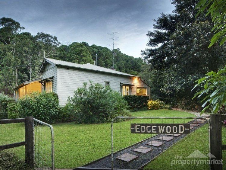
Fountaindale is a semi-rural suburb of the Central Coast region of New South Wales, Australia. It is part of the Central Coast Council local government area.
Map of Fountaindale NSW 2258, Australia
Fountaindale is also the location of a Rudolf Steiner School, which moved from North Gosford. This school has benefited the community with a new roundabout as well as other road repairs and upgrades.
References
Fountaindale, New South Wales Wikipedia(Text) CC BY-SA
