
Population 430 (2011) Civil parish Foulden Area 12.95 km² Local time Wednesday 11:09 AM | OS grid reference TL764988 Sovereign state United Kingdom | |
 | ||
Weather 14°C, Wind SW at 10 km/h, 65% Humidity | ||
Red kite foulden norfolk
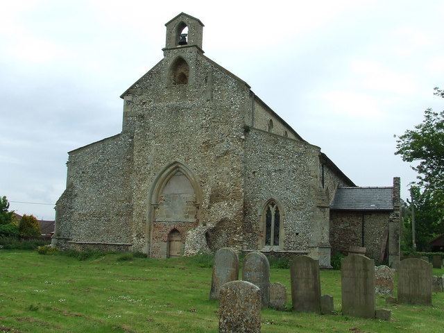
Foulden /ˈfaʊldən/ is a civil parish in the English county of Norfolk. It covers an area of 12.95 km2 (5.00 sq mi) and had a population of 444 in 176 households at the 2001 census, including Beckett End but decreasing to a population of 430 also in 176 households at the 2011 census. For the purposes of local government, it falls within the district of Breckland.
Contents
Map of Foulden, UK
"Foulden" derives from the words "fowl" and "den", meaning "hill frequented by birds". It was recorded as "Fugalduna" in the Domesday Book.
The village lies on the edge of Thetford Forest. Birdlife is plentiful owing to the many trees in the area, large stretches of open water, and its location near the Fens. To the north of the village is Foulden Common, a Site of Special Scientific Interest.
Local industry is primarily agricultural, including dairy farming, sugar beet and other crops.
The Salvation Army Commissioner John Lawley was born in the village in 1859.
The village hall was built in the 1970s by residents of Foulden. Today a wide range of events can be enjoyed at the hall or can be hired on a private basis.