Intercommunality Haute Picardie Area 6.91 km² | Canton Chaulnes Population (2006) 254 Local time Wednesday 11:50 AM | |
 | ||
Weather 13°C, Wind E at 3 km/h, 79% Humidity | ||
Foucaucourt-en-Santerre is a commune in the Somme department in Hauts-de-France in northern France.
Contents
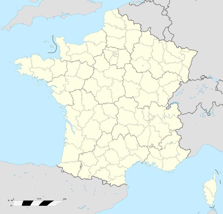
Map of 80340 Foucaucourt-en-Santerre, France
Geography
The commune is situated on the N29 road, some 24 miles (39 km) east of Amiens.
World War I
During World War I the village hosted a temporary aerodrome to the west of the village opposite the cemetery. It was first held by the Germans, and fell into allied hands by the end of the war. The German Jagdstaffel 34 was stationed here from April to July 1918, and RAF 208 Squadron moved in on 22 September 1918.
Places of interest
References
Foucaucourt-en-Santerre Wikipedia(Text) CC BY-SA
