
Country United States County Pottawatomie FIPS code 20-52825 Elevation 434 m Zip code 66520 Local time Friday 1:48 AM | Time zone Central (CST) (UTC-6) GNIS feature ID 0484938 Area 49 ha Population 226 (2013) Area code 785 | |
 | ||
Weather 21°C, Wind S at 18 km/h, 47% Humidity | ||
Olsburg is a city in Pottawatomie County, Kansas, United States. As of the 2010 census, the city population was 219.
Contents
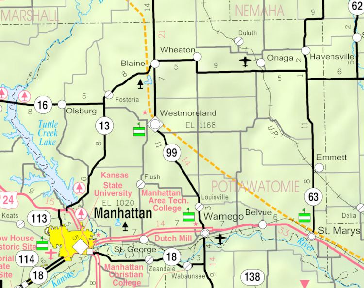
Map of Olsburg, KS 66520, USA
History
Olsburg was laid out in the late 1870s. It was originally built up chiefly by Swedes. Olsburg was named for Ole Thrulson, a pioneer settler.
The first post office in Olsburg was founded in 1873, but the name of the post office was spelled Olesburgh until 1887.
Geography
Olsburg is located at 39°25′52″N 96°36′52″W (39.431052, -96.614439). According to the United States Census Bureau, the city has a total area of 0.19 square miles (0.49 km2), all of it land.
Demographics
Olsburg is part of the Manhattan, Kansas Metropolitan Statistical Area.
2010 census
As of the census of 2010, there were 219 people, 85 households, and 58 families residing in the city. The population density was 1,152.6 inhabitants per square mile (445.0/km2). There were 98 housing units at an average density of 515.8 per square mile (199.2/km2). The racial makeup of the city was 97.7% White and 2.3% from two or more races. Hispanic or Latino of any race were 2.7% of the population.
There were 85 households of which 36.5% had children under the age of 18 living with them, 57.6% were married couples living together, 7.1% had a female householder with no husband present, 3.5% had a male householder with no wife present, and 31.8% were non-families. 27.1% of all households were made up of individuals and 9.5% had someone living alone who was 65 years of age or older. The average household size was 2.58 and the average family size was 3.17.
The median age in the city was 33.2 years. 33.8% of residents were under the age of 18; 3.7% were between the ages of 18 and 24; 26% were from 25 to 44; 25.6% were from 45 to 64; and 11% were 65 years of age or older. The gender makeup of the city was 48.9% male and 51.1% female.
2000 census
As of the census of 2000, there are 192 people, 80 households, and 63 families residing in the city. The population density is 1,282.7 people per square mile (494.2/km²). There are 85 housing units at an average density of 567.9 per square mile (218.8/km²). The racial makeup of the city is 99.48% White and 0.52% Native American.
There are 80 households out of which 26.3% have children under the age of 18 living with them, 68.8% are married couples living together, 7.5% have a female householder with no husband present, and 21.3% are non-families. 18.8% of all households are made up of individuals and 5.0% have someone living alone who is 65 years of age or older. The average household size is 2.40 and the average family size is 2.75.
In the city, the population is spread out with 21.4% under the age of 18, 9.9% from 18 to 24, 24.5% from 25 to 44, 17.7% from 45 to 64, and 26.6% who are 65 years of age or older. The median age is 42 years. For every 100 females there are 100.0 males. For every 100 females age 18 and over, there are 104.1 males.
The median income for a household in the city is $37,969, and the median income for a family is $39,531. Males have a median income of $27,386 versus $23,281 for females. The per capita income for the city is $14,268. 5.0% of the population and 7.2% of families are below the poverty line. Out of the total population, none of those under the age of 18 and 19.1% of those 65 and older are living below the poverty line.