
NRHP Reference # 74000050 | Architect Unknown Added to NRHP 11 May 1974 | |
 | ||
Architectural style Greek Revival, Colonial Weather -9°C, Wind W at 18 km/h, 65% Humidity | ||
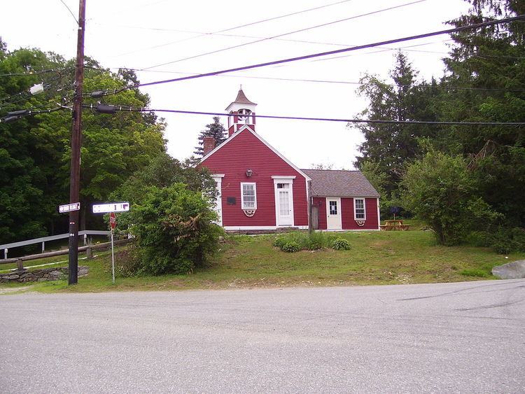
Foster Center is a village in the town of Foster, Rhode Island, United States. It was listed as a census-designated place (CDP) in 2010, with a population of 355. Historic elements of the village are included in the Foster Center Historic District, which is listed on the National Register of Historic Places. The district features various colonial and Greek Revival houses as well as the still functioning town building from the late 18th century. The district was added to the National Register of Historic Places on May 11, 1974.
Geography
According to the U.S. Census Bureau, the CDP has a total area of 2.18 square miles (5.65 km2), of which 2.17 square miles (5.61 km2) is land and 0.015 square miles (0.04 km2), or 0.66%, is water. The village is located near the western border of Rhode Island along Rhode Island Route 94, which leads north to West Glocester and south towards Clayville.